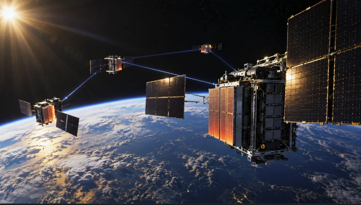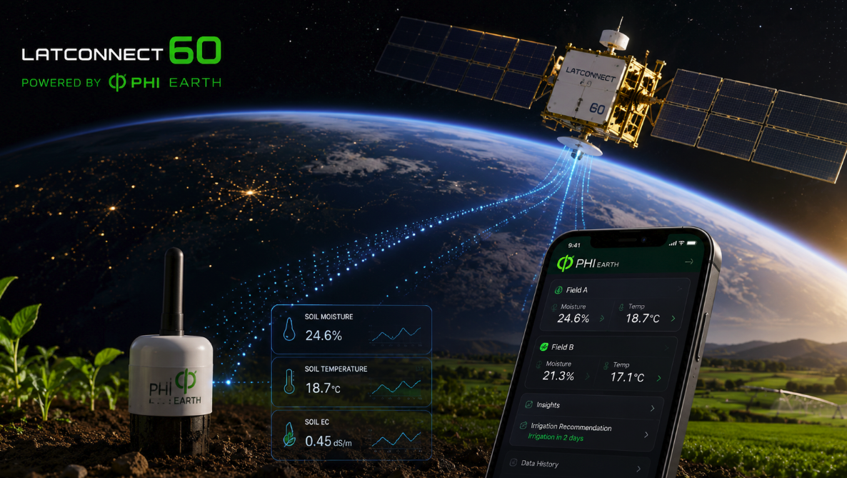
Earth-observation satellites can repeatedly scan huge areas of farmland, but a view from orbit is not the same thing as knowing what is happening in the soil. A new partnership between Australian Earth-intelligence company LatConnect 60 and Singapore-based Phi Earth Technologies is built around closing that gap by connecting satellite observations with measurements collected in the field.
The companies announced on August 28 that they will integrate LatConnect 60’s Earth-observation capabilities with Phi Earth’s digital monitoring, reporting and verification platform. Their stated goal is an Earth-observation-enabled digital twin for nature-based projects: a system in which orbital measurements and validated field observations continuously inform one another rather than remaining in separate databases.
The initial projects will focus on biomass and regenerative agriculture in Malaysia and Australia, including napier grass, sweet sorghum and agave. The announcement does not disclose project acreage, contract value or independently verified environmental results, so the partnership remains an infrastructure and deployment story rather than evidence that the approach has already delivered better yields or more accurate carbon accounting.
The difficult part of Earth observation is often ground truth
Satellites are extraordinarily good at measuring patterns across large areas. Different spectral bands can reveal information associated with vegetation, water, surface conditions and changes over time. But interpreting those signals correctly requires reference measurements from the physical environment below.
A satellite may detect a spectral change in a crop field, for example, but translating that signal into a reliable estimate of biomass, moisture or another agronomic variable depends on calibration and validation. Measurements taken at known locations on the ground help establish what the satellite signal corresponds to under real conditions. That relationship can then be tested across more locations and time periods.
This is why the LatConnect 60–Phi Earth partnership is potentially more interesting than simply adding another satellite-data feed to an agricultural dashboard. According to the companies’ joint announcement, field observations are intended to validate satellite-derived intelligence throughout a project’s lifecycle, creating a feedback loop between what is measured locally and what is inferred remotely.
Phi Earth says its projects use field measurements of growth, survivorship, biomass and soil data and describes its approach as beginning with collaborative pilots and control plots. Its published methodology emphasizes measurement and review rather than treating biological-performance claims as assumptions. Connecting that field layer with repeat satellite coverage could make both datasets more useful: ground measurements provide context for orbital observations, while satellites provide geographic and temporal coverage that field teams cannot economically reproduce everywhere.
LatConnect 60 is betting on short-wave infrared
The partnership also offers a practical use case for LatConnect 60’s planned SWIRSAT constellation. The company is developing very-high-resolution short-wave infrared Earth-observation satellites and says the first two SWIRSAT missions are targeted for the first quarter of 2027, with a roadmap toward an 18-satellite constellation by 2029.
Short-wave infrared, or SWIR, is useful because materials reflect and absorb these wavelengths differently depending on physical and chemical properties that are not always apparent in visible imagery. In vegetation and agricultural applications, SWIR measurements can contribute information related to water content, crop stress and biomass conditions. LatConnect 60 says its planned datasets will be used to generate insights around biomass growth, biomass moisture and carbon sequestration.
Those are company objectives rather than demonstrated results from the future constellation. The satellites still have to launch and their operational products will need to be calibrated and validated. The partnership with Phi Earth can be understood partly as preparation for that validation problem: a network of projects collecting structured field observations could give LatConnect 60 valuable reference data for testing what its future sensors infer from orbit.
Carbon markets make verification more than a technical detail
The same architecture has implications beyond farm management. Nature-based carbon projects depend on measurement, reporting and verification, usually abbreviated MRV. If a project claims that changes in land management have increased biomass or carbon storage, investors and credit buyers need credible evidence that the claimed outcome occurred and can be quantified.
Traditional field measurement can be labor-intensive and expensive, particularly across large or remote landscapes. Satellite monitoring offers scale and repeatability, but remote sensing alone can introduce uncertainty when models are not sufficiently grounded in field observations. Combining both approaches is therefore attractive: field teams provide direct measurements at selected locations, while Earth observation helps extend monitoring across the wider project area and track change between site visits.
LatConnect 60 has already positioned environmental measurement as a core part of its business. In its published sustainability strategy, the company describes Earth-observation applications spanning emissions monitoring, agriculture, vegetation health and carbon sequestration, with an emphasis on measurement and validation. Phi Earth’s platform is intended to provide the audit-ready digital MRV layer into which field and satellite information can be brought together.
The key word is “intended.” A digital twin does not automatically make a carbon project high-integrity, and more data does not eliminate methodological uncertainty. The quality of the outcome will depend on sampling design, sensor calibration, models, baselines, treatment of uncertainty and whether independent auditors can reproduce the claims. The new partnership creates infrastructure for stronger verification; it does not replace verification itself.
A digital twin of a landscape is very different from one of a machine
Digital twins are familiar in industrial engineering, where a virtual representation of a turbine, factory or spacecraft can be updated using sensor data from a physical asset. Applying the idea to a biological landscape is harder because farms and ecosystems are not engineered systems with perfectly known components.
Soil composition varies across short distances. Rainfall, irrigation, pests, temperature and management decisions change through time. Two plots planted with the same crop can behave differently because of conditions that are difficult to observe directly. A useful agricultural digital twin therefore cannot simply be a visually detailed map. It has to represent uncertainty and continuously absorb new evidence.
The partnership’s proposed feedback loop is relevant here. Satellite observations can identify spatial patterns that field teams may not notice from individual sampling locations. Ground measurements can then test whether the satellite interpretation is correct. If the relationship changes as crops mature or environmental conditions shift, the model can be recalibrated rather than assuming that an earlier correlation remains valid.
The commercial opportunity is in connecting fragmented measurements
Earth observation has become increasingly accessible as commercial satellite fleets multiply and public missions provide large quantities of imagery. The resulting bottleneck is often no longer access to a picture of a field. It is converting multiple streams of observations into evidence that can support an operational or financial decision.
That creates room for companies operating between satellite operators and end users. Farmers generally do not want spectral imagery for its own sake; they want to know whether a crop is stressed, whether biomass is developing as expected or where a field inspection should be prioritized. Carbon-project investors similarly need defensible measurements rather than raw pixels.
LatConnect 60 and Phi Earth are effectively proposing a data chain that starts with observations in orbit and ends with auditable records tied to activity on the ground. If it works, the valuable product will not be any single satellite image or soil measurement but the relationship between them over time.
The first deployments in Malaysia and Australia will provide an early test across several biomass crops. Until those projects generate validated results, claims about accuracy, productivity improvements or carbon outcomes should remain provisional. But the partnership illustrates an important direction for commercial Earth observation: the next competitive advantage may come less from simply seeing more of Earth and more from proving what those observations mean.